Why?
In 1853, William Ogden (Chicago’s first mayor) purchased the land currently known as Goose Island and began digging a canal east of the river. For most of Chicago’s history, this canal was used as an industrial corridor, hosting the barges and other vessels that carried lumber, coal, grains, and more.
Over time, the area transitioned from industrial to commercial, and later, commercial to residential. Though no longer used for industry, the surrounding waterways still feature infrastructure designed for boats rather than humans or wildlife - 20-foot seawalls, minimal access points, and layers of polluted industrial residue on the river floor. In recent years, city entities, community groups, and nonprofits alike have realized the potential held by the river as a recreational and ecological resource.
The Goal
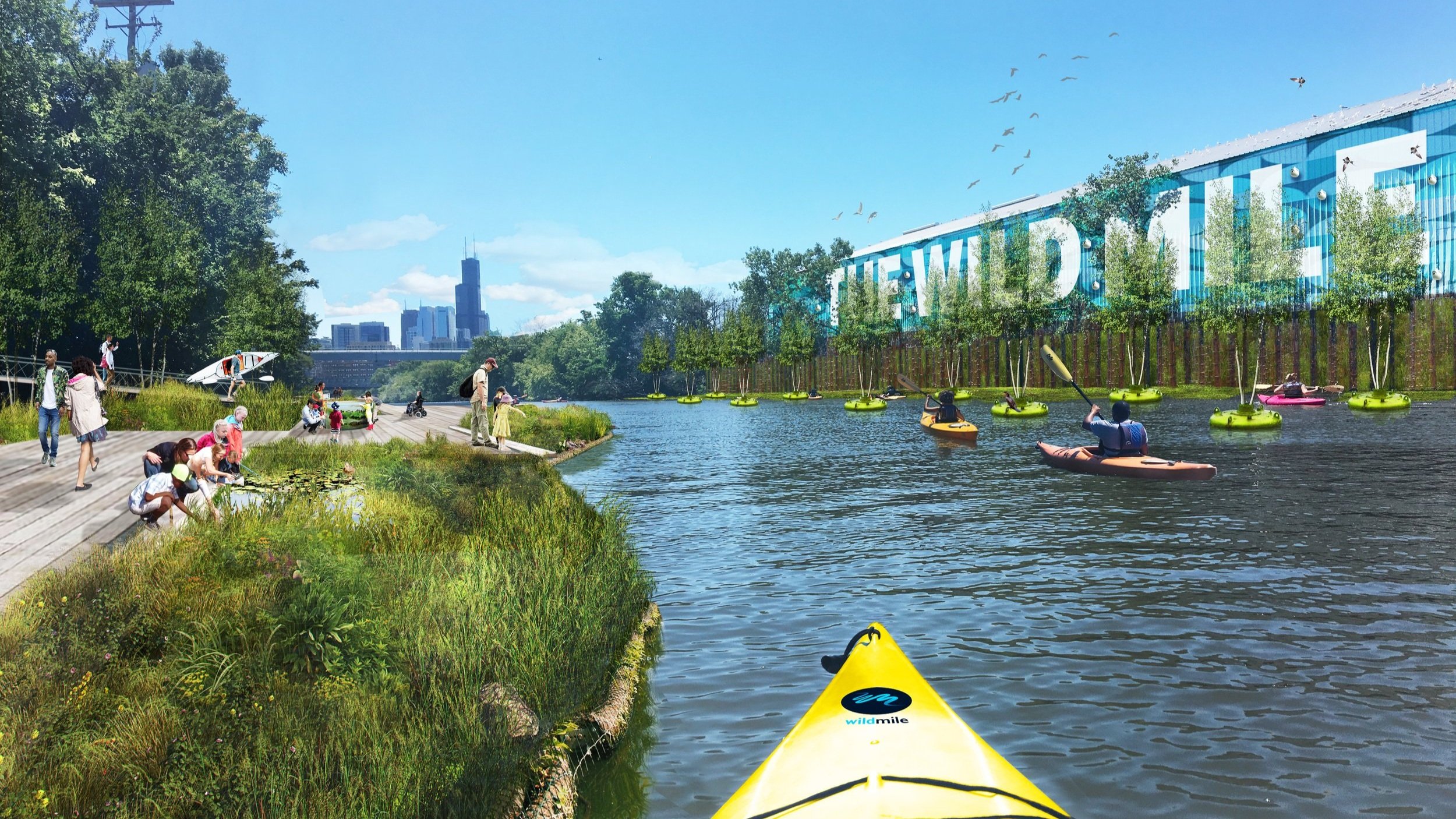
The goal of the Wild Mile Chicago Framework Plan is to create a new environment for (1) habitat, (2) recreation, and (3) education.
The community’s input and feedback is vital to creating new access to the river, educational and recreational opportunities, in addition to the implementation of ecology and habitat.
The North Branch Framework, which was produced in partnership with the community and was approved by the Chicago Plan Commission in 2017, envisioned a 17-acre in-stream river park as one of the defining features for the modernization of the North Branch Industrial Corridor. In 2018-2019 The City of Chicago commissioned Urban Rivers along with partners such as Omni Ecosystems, Skidmore, Owings, and Merrill (SOM), and Near North Unity Program, & Neighborspace to create the Wild Mile Framework Plan. This plan, which you can download below, was outlined over the course of many community meetings and builds on the vision of a renewed urban ecology for the city of Chicago. With the goal of generating cleaner, healthier water and more vibrant wildlife ecosystems, the Wild Mile was designed to fit within the isolating industrial infrastructure, bridging the gap between humans and nature.
Since 2017, the City of Chicago has committed 3.2 million dollars towards the installation of the first two segments of the Wild Mile, which is currently 400 linear feet long and will stand at approximately 700 linear feet come spring of 2024.


